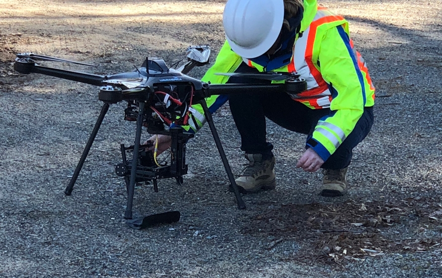
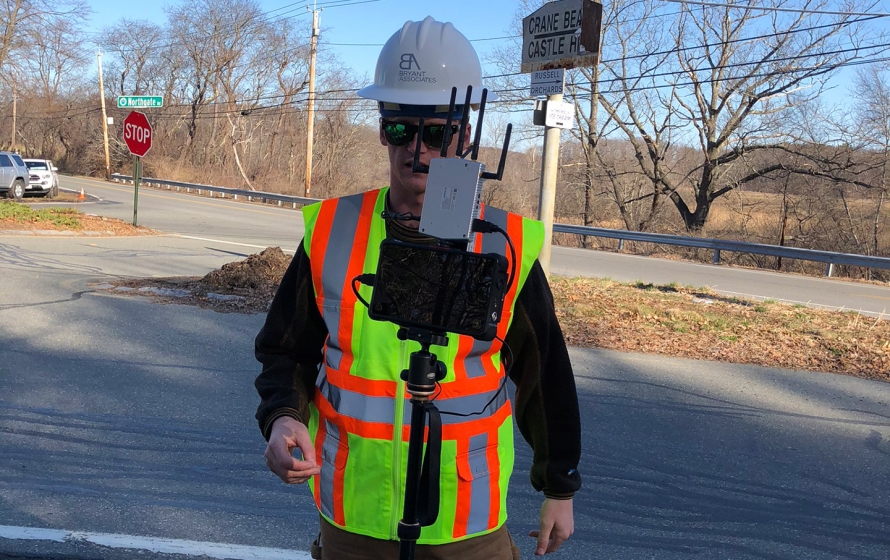
Bryant captured aerial data via our UAV America Eagle XF drone and Sony mapping grade camera for this roadway intersection.
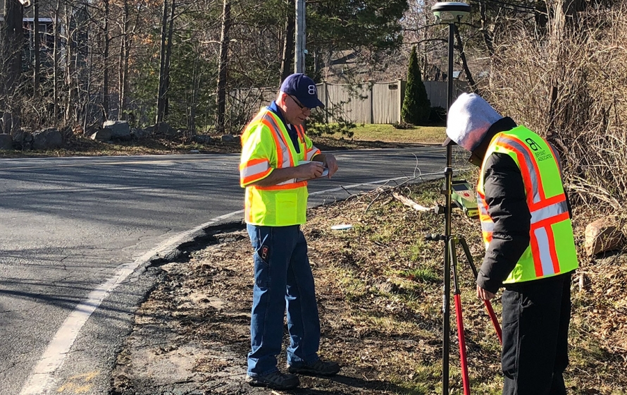
The aerial survey was controlled via on ground RTK surveys of targets placed prior to the flight. The ground control enabled the imagery to be rectified accurately and referenced to State Plane coordinates and NAVD88 vertical datum.
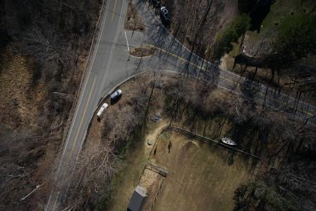
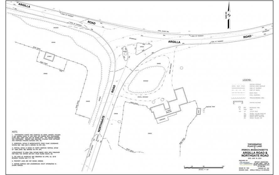
The imagery was post processed utilizing PIX4D software where an Ortho mosaic was created stitching over 70 images into one georeferenced file.
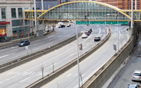
Ground surface data was extracted and utilized to create a Topographic plan in AutoCAD showing one foot contours, roadway improvements, including pavement, guard rails, traffic islands and paint lines. The data will be useful in any potential assessment of grading and or design improvements if needed. Local municipalities, agencies and designers can utilize this data in the assessment/design process.
Capturing the roadway data remotely via the drone reduced the exposure of field personnel to traffic as well as mitigated impact of vehicular movement.