Bryant has extensive experience with aerial photogrammetry and mapping and is able to offer expertise using both UAV (aka drone) and manned aircraft platforms.
We will always propose the best method for data capture for your project, regardless of how the data is collected, and deliver detailed topographic maps that enable our clients to make their most informed decisions.
Manned Aircraft Platforms
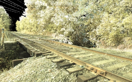
From high-resolution aerial photography captured from a traditional aircraft, we create detailed mapping to your specifications for many types of project sites, including airport, rail, beach, forest and roadway.
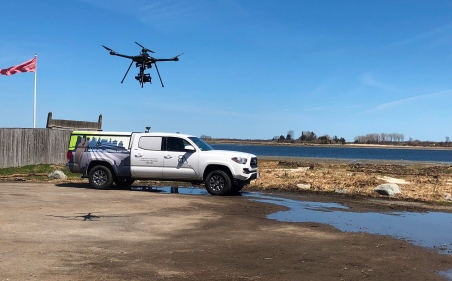
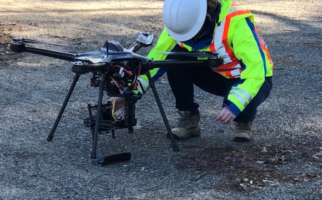
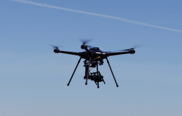
Unmanned Aerial Vehicle (UAV aka drone)
With the addition of a custom built, Eagle XF UAV to our inventory of survey equipment, Bryant offers clients mapping/photogrammetry services with an FAA approved Unmanned Aerial Vehicle (UAV aka drone). The drone allows for the collection of additional data, giving you, our clients, the ability to perform deeper analysis and assessment of project sites.
Download our UAV/Drone Services Capabilities Flyer.