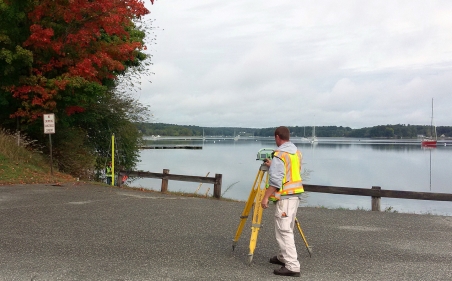
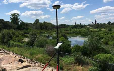
We understand the importance of creating accurate topographic maps and our team has thousands of hours of experience doing just that.
Whether determining existing conditions, providing the foundation for road improvements, bridges, grading, drainage or utility design, we work to provide clients with critical information that allows for the accurate design for a property’s unique features. These services can be collected by conventional data collection with total stations and data collectors or via real time kinematic GPS surveys. Bryant can generate design files in either AutoCAD or MicroStation and adhere to specific CADD standards required by various agencies.