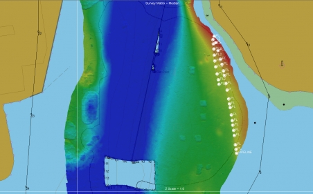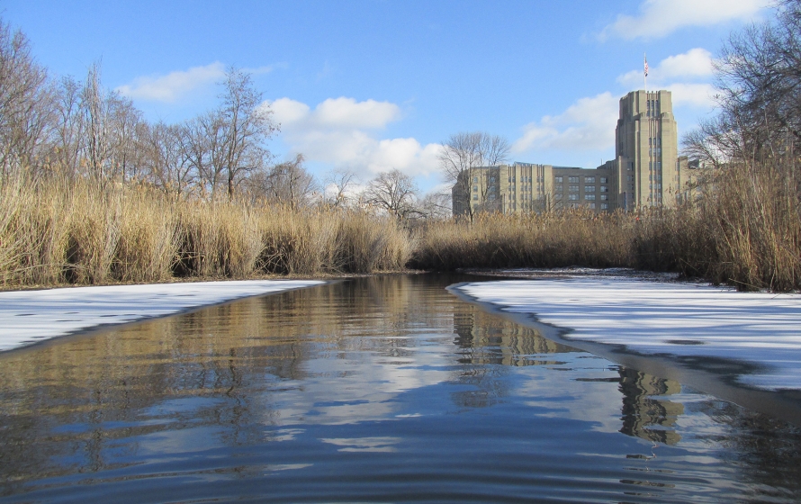
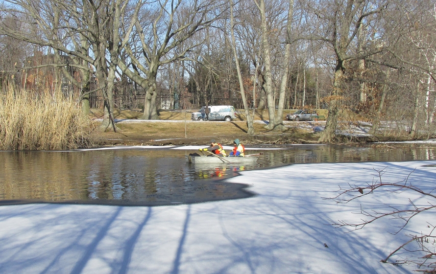
Bryant is providing surveying, mapping and geospatial services at various locations in the Army Corps of Engineers New England District and/or North Atlantic Division on a task order basis. For this task, Bryant performed a bathymetric survey of the Muddy River, a small urban waterway in support of a multi-million dollar two-phase flood damage reduction project. Obtained riverbed elevations, established permanent control points and located trees in specific areas.