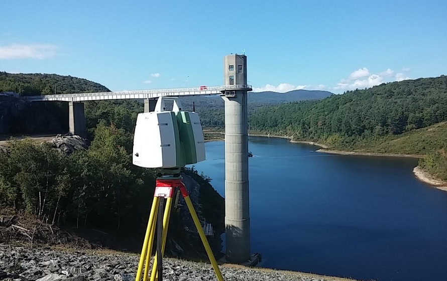
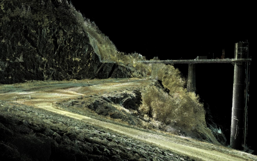
Bryant is providing surveying, mapping and geospatial services at various locations in the Army Corps of Engineers New England District and/or North Atlantic Division on a task order basis. For this task, Bryant performed topographic survey of the dam, spillway and nearby areas; 3D laser scan of earthen dam’s upstream and downstream faces; topographic survey of side slopes of river via conventional and aerial surveys utilizing a drone at Ball Mountain Dam in Jamaica, VT. Also performed conventional survey for 2+ miles of trail for the design of an access roadway.