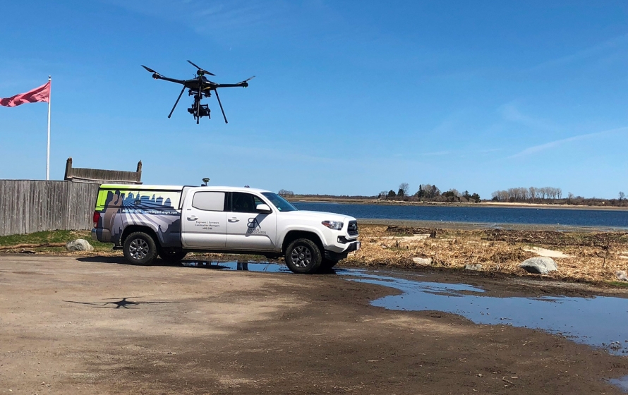
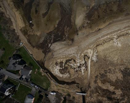
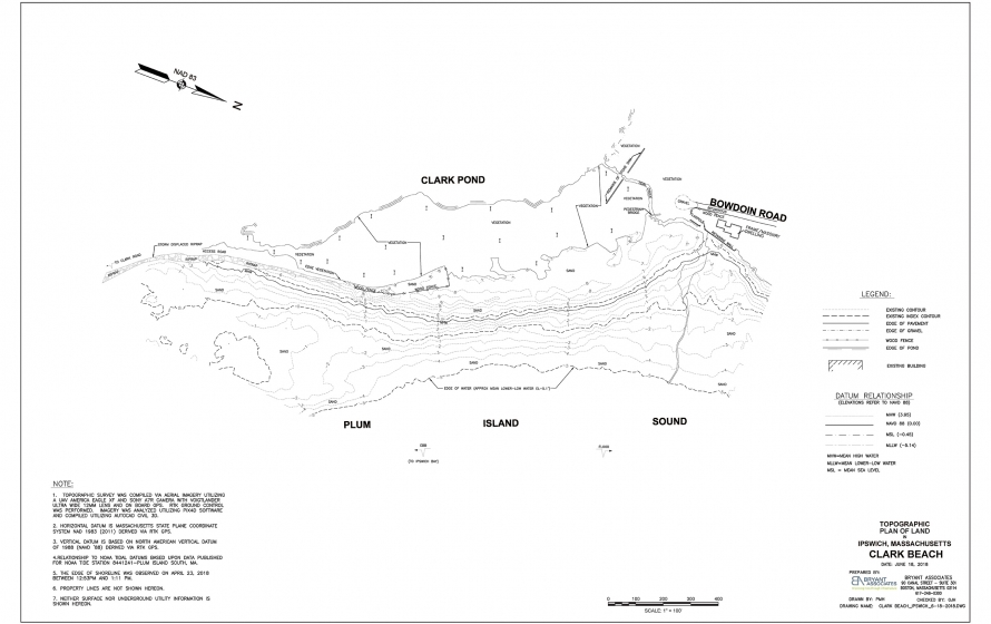
Bryant captured aerial data via our UAV America Eagle XF drone and Sony mapping grade camera for this coastal beach. The data collected included precise elevation data from the low water line up to the edge of Clark Pond−a fresh water pond that empties into the Plum Island Sound.
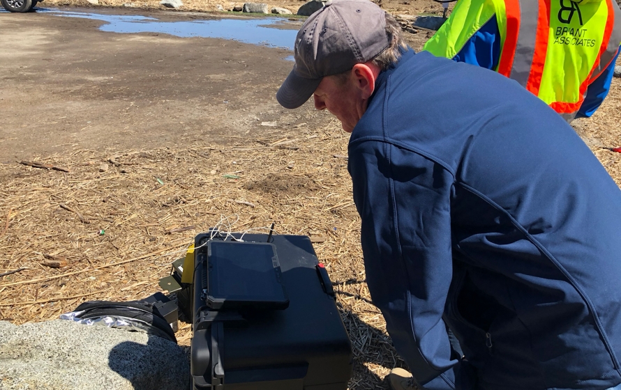
The aerial survey was controlled via on ground RTK surveys of targets placed prior to the flight. The ground control enabled the imagery to be rectified accurately and referenced to State Plane coordinates and NAVD88 vertical datum.
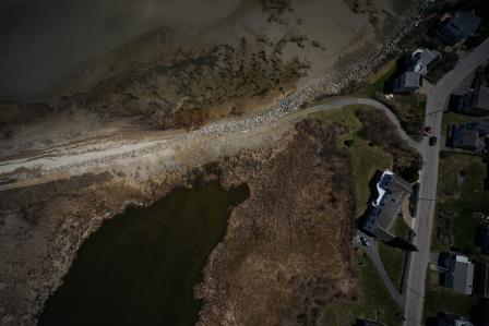
The imagery was post processed utilizing PIX4D software where an Ortho mosaic was created stitching over 100 images into one georeferenced file.
Ground surface data was extracted and utilized to create a topographic plan in AutoCAD showing one foot contours, access roadway, parking area, the tidal creek and the low water elevation.
The elevation data will be useful in assessing and comparing changes in the shoreline from beach erosion and movement of sand bars. Local municipalities and agencies can utilize yearly flights of beaches to determine the pattern of changes that occur for long range planning of beach protection/nourishment.
The volume of data collected via this methodology was significantly more than could efficiently be collected via conventional survey methods and the time savings was substantial.