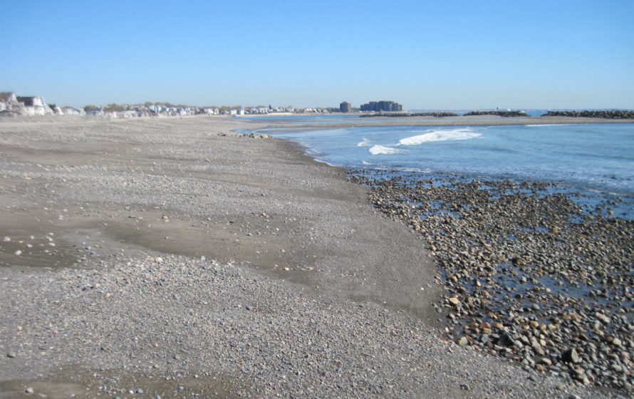
The Winthrop Shore Reservation Restoration Program at Winthrop and Short Beaches is part of the “Back to the Beaches” (BTB) program. The BTB program’s mission is to revitalize and reinstate access to the beaches of Boston Harbor. In order to achieve the goals of the BTB and improve Winthrop Shore, multiple criteria needed to be met, including shore protection, parkway and aesthetic improvements and stormwater improvements.
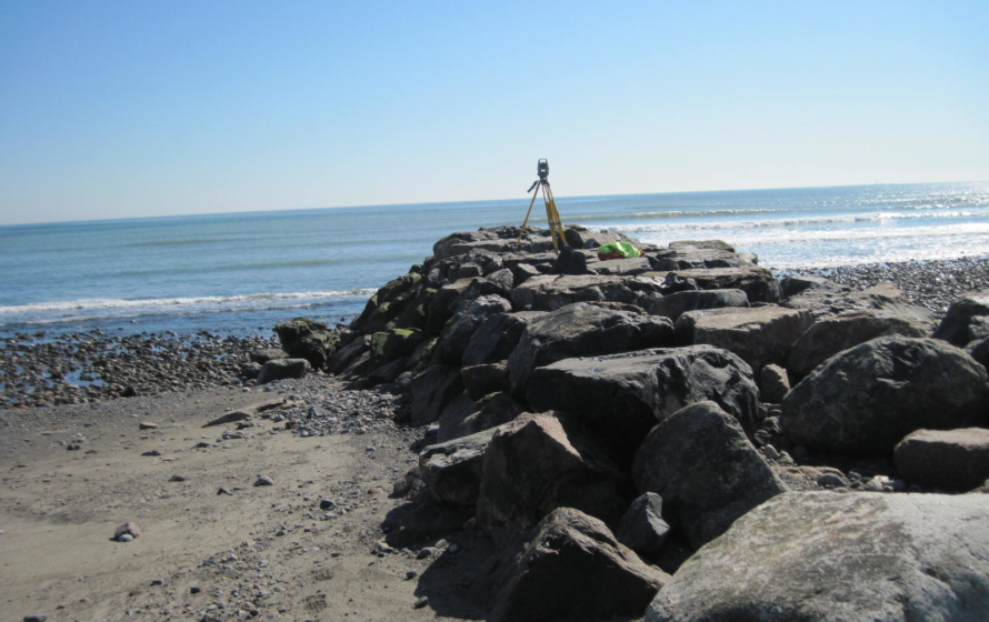
Bryant provided aerial mapping, topographic and utility surveys, as well as utility research for beach nourishment investigations for shore protection. This DCR project will determine the feasibility and suitability of using material from the abandoned I-95 embankment in Saugus and trucking it to Winthrop Beach. Bryant prepared aerial mapping at a scale of 1”=40 with two (2) foot contours. Photo control was accomplished via RTK GPS. During the field effort, existing visible utility information and structures were located (rim and invert) and added to the base mapping. Subsurface utility information was compiled from a combination of field measurements and record information. Additionally research at the City Hall, MDOT and Registry of deeds was performed to compile existing right of way and property lines in the project area.