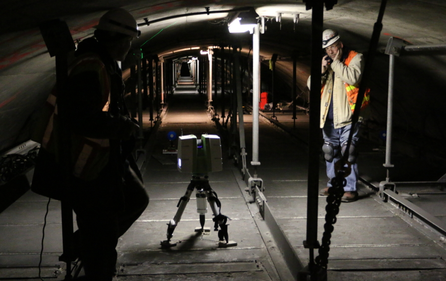
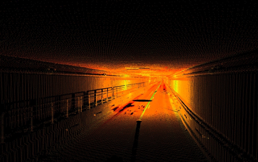
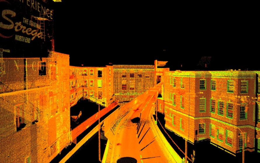
Bryant performed a high-resolution LiDAR (laser) 3D scan of the 83-year-old Sumner Tunnel connecting East Boston to Boston Proper. Opening in June 1932, the tunnel was the first Boston Harbor tunnel and carried traffic in both directions until 1961 when the Callahan tunnel opened. The tunnel will undergo repairs and rehabilitation.
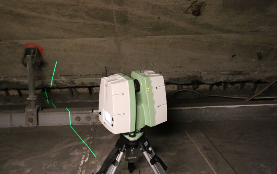
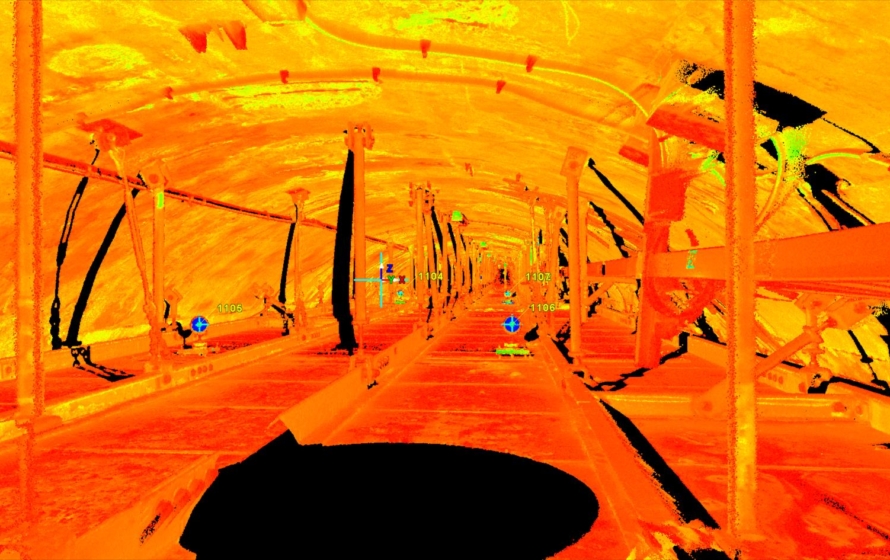
Bryant’s scope included setting control points throughout the tunnel, performing a GPS survey at the portals to tie the control to the Massachusetts State Plane Coordinate System. Bryant performed a laser scan of the traffic section of the tunnel and selected scans within the upper exhaust duct. In addition to the point clouds delivered to the client Bryant produced cross sections of the tunnel as well as an existing conditions plan of the traffic section of the tunnel. The total number of discrete 3D points collected for the project totaled over 1.6 Billion points.
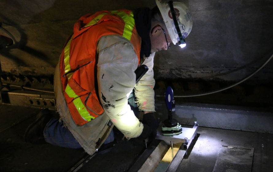
The work completed included coordinating lane and full tunnel closures with MassDOT as well as access to the plenum with the appropriate safety equipment and expert Fire and Rescue Training, Inc. personnel during one of the worst winters Boston has seen in decades.